Mornings here can start with a quiet walk along the Delaware Canal, mist over the river, and a short ride into New Hope for coffee. If you are drawn to River Road’s stone homes, water views, and towpath access, you likely also want straight talk about flood maps, insurance, permits, and maintenance. This guide gives you a clear picture of both the romance and realities of living along River Road in Solebury Township, ZIP 18938. Let’s dive in.
River Road and the towpath setting
River Road is the local name for Pennsylvania Route 32, the two‑lane corridor that traces the Delaware River through Solebury and New Hope. Running parallel is the historic Delaware Canal and its towpath, a state park trail stretching about 58.9 miles that many River Road homeowners enjoy daily for walking and cycling. You can explore features, trail access, and current park details on the Pennsylvania DCNR’s page for Delaware Canal State Park.
Local access points near 18938 include Virginia Forrest and Washington Crossing, along with towpath entrances close to downtown New Hope. Together, the canal and river define the look, feel, and rhythm of this corridor in every season.
Homes and historic hamlets
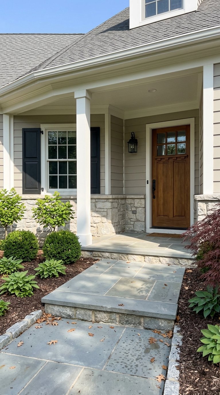
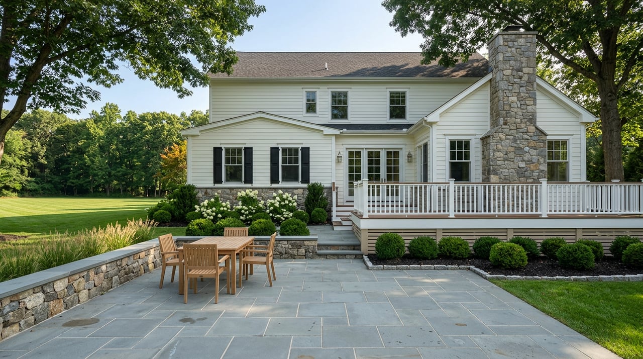
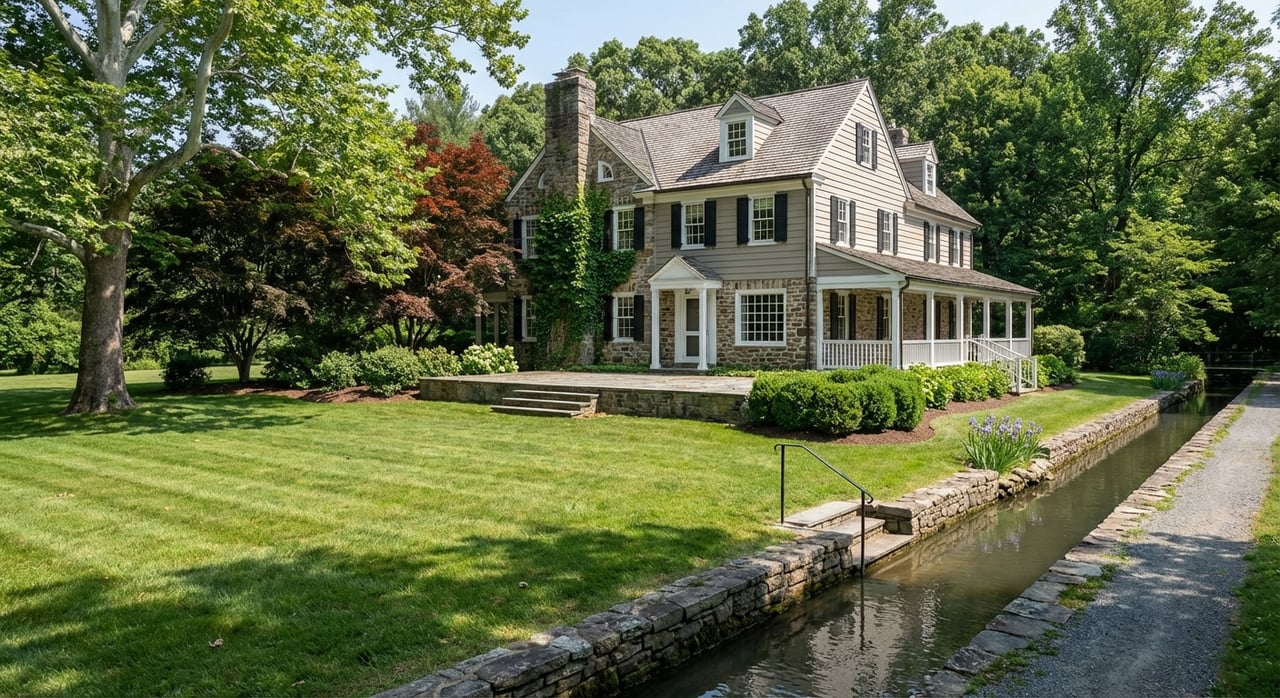
Along River Road you will find a mix of small historic cottages, artist colony homes, 18th and 19th century stone farmhouses, village residences, and a handful of modernized riverfront properties. Historic districts such as Phillips Mill, Lumberville, and Centre Bridge shape the architectural character and streetscape. For background on the area’s history and building styles, see the overview of the Phillips Mill Historic District.
Parcels vary widely. Some are true waterfront with direct river orientation. Others sit along the canal or just off it. Whether a particular property lies in a mapped floodplain is parcel specific, so smart buyers pair lifestyle goals with careful due diligence.
Lifestyle rhythms by season
- Spring and early summer can bring higher flows on the river and occasional short‑term towpath closures for repairs.
- Fall is prime foliage, with brilliant color along the river hills.
- Winter offers long river views when trees are leaf‑off, though the towpath can be icy or muddy.
Before planning big rides or runs, check current towpath conditions and closures from PA DCNR or local partners to avoid surprises.
Flood risk and thresholds
Flood risk is not abstract here. The Delaware River’s stage readings tie directly to local impacts. Regional guidance from the DRBC notes that near 15 feet on the New Hope gauge, parts of River Road in New Hope begin to flood. At higher stages, low‑lying streets, parking areas, and sections of the towpath see inundation. Review the DRBC’s summary of local flood stage impacts to understand how measurements translate to real‑world conditions.
Here is a simple property review plan:
- Look up the address in FEMA’s Flood Map Service Center to see official map zones and download the FIRM panel.
- Ask Solebury Township for any floodplain permits and for parcel records. The township outlines requirements here: FEMA Floodplain and Other Information.
- Get flood insurance estimates early. Start with an NFIP overview at FloodSmart, then compare with private market quotes.
- Budget for mitigation if needed. Elevation data, flood vents, grading, and landscape changes can affect coverage and peace of mind.
Recent storm seasons have shown why preparation matters. During high‑water events, residents monitor river stages, relocate vehicles, and follow local closure notices until waters recede.
Insurance basics
- Standard homeowners insurance does not cover flood damage.
- If the home is in a FEMA Special Flood Hazard Area and you use a federally regulated or insured mortgage, flood insurance is typically required.
- NFIP pricing uses a property‑specific method, so premiums vary. Get quotes early and compare NFIP with private carriers.
Permits, docks, and shoreline work
Shoreline changes, docks, ramps, retaining walls, and most work in or along the river usually require state authorization. Many small projects can proceed under Pennsylvania DEP’s Chapter 105 general permits, while larger or more complex plans may need a joint review. Start with the DEP’s overview of Chapter 105 General Permits.
If a structure would occupy the Commonwealth’s submerged lands, a license and fees may apply. DEP outlines when this is required and how it is administered here: Submerged Lands License Agreement.
For riparian access and public use on navigable waterways, the Pennsylvania Fish and Boat Commission provides helpful background on rights and responsibilities. Their guidance on public and private access is here: Land and Access Management. When in doubt, plan early, document conditions, and coordinate with township and state reviewers before you build.
Septic and routine maintenance
Many River Road and canal‑corridor parcels in Bucks County rely on on‑lot sewage systems. As a buyer, you should request existing septic permits and service records, and verify any known constraints with the county. The Bucks County Health Department explains permitting and standards for on‑lot systems here: Sewage Program.
Smart maintenance moves along the river include:
- Service septic systems on schedule and document inspections, especially before a sale.
- Favor soft‑engineering for banks when feasible. Riparian plantings, coir logs, and bioengineering can stabilize soils while improving habitat. Near waterlines, permitting is typically still required.
- Keep an eye on trees, stormwater flow paths, and drainage around foundations.
Quick‑start plan for buyers and weekenders
- Define your lifestyle priorities: towpath access, river views, village proximity, or acreage.
- Use FEMA’s MSC for flood zones, then request any elevation certificates and township floodplain permits.
- Obtain flood insurance quotes early and compare NFIP with private carriers.
- Verify septic status with county records and schedule inspections during due diligence.
- If you envision a dock, stairs, or bank work, budget time for DEP Chapter 105 review and any additional approvals.
Work with a local guide
You deserve both the romance you see in the photos and the confidence that comes from thorough due diligence. For discreet buyer representation or a tailored plan to bring a River Road property to market with high‑impact visuals and smart positioning, connect with Lisa Frushone. Request a Private Consultation.
FAQs
What and where is River Road in Solebury?
- River Road is the local name for PA Route 32 that runs along the Delaware River through Solebury and New Hope, parallel to the Delaware Canal towpath.
How do I check if a River Road home is in a floodplain?
- Look up the address in FEMA’s Map Service Center, then contact Solebury Township for floodplain permit records and any available elevation certificate.
Will my lender require flood insurance for a River Road property?
- If the home is in a FEMA Special Flood Hazard Area and you use a federally regulated or insured mortgage, flood insurance is typically required; many buyers compare NFIP and private quotes.
Can I build a private dock or shore wall on the Delaware?
- Possibly, but expect Pennsylvania DEP Chapter 105 review and, in some cases, a submerged lands license; plan early and coordinate with township and state agencies.
Who maintains the Delaware Canal towpath and is access dependable?
- The towpath is managed by PA DCNR, with active support from Friends of the Delaware Canal; sections can close for maintenance or after storms, so check current notices.
Are most River Road homes on public sewer in 18938?
- Many parcels use on‑lot septic systems; request permits and service records and consult the Bucks County Health Department for known constraints.
How do river levels translate to local closures?
- Local officials use defined river stage thresholds; near 15 feet on the New Hope gauge, parts of River Road begin to flood, with broader impacts at higher stages.